Shoaling Impacts Manistee Harbor Navigation
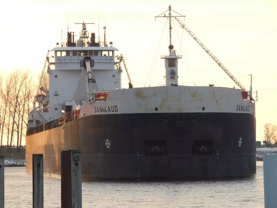
Mariners and recreational users of Manistee Lake are advised to exercise caution due to significant shoaling discovered in the Manistee harbor, resulting in shallower areas than the recorded charts indicate. Plans to dredge these areas have been accelerated, but commercial vessels are currently avoiding them.
Urgent Dredging Actions Initiated
During a recent Manistee City Council meeting, Harbormaster Jeff Mikula reported that the Army Corps of Engineers’ surveys in April identified these shallow regions. “Commercial shippers have been informed and have ceased their operations into the harbor until dredging is completed,” Mikula stated.
Mikula added that the Corps had expedited the bidding process for emergency dredging of the harbor. “The Corps maintains dredging standards based on the lowest predicted water levels of Lake Michigan to ensure navigability,” he explained.
Shoaling Details and Safety Measures
Significant shoaling was observed near the north pierhead extending to the south breakwater, with depths in most of the harbor at 23 feet. However, depths near the First Street boat launch drop to 24 feet and further out to 25 feet, yet a surveyed area showed depths ranging from 12 to 21 feet.
The Coast Guard Station Manistee initially reported the shoaling to the Coast Guard’s Sector Lake Command, leading to further investigations by the Army Corps of Engineers. Following an unsuccessful attempt by a commercial vessel to navigate the harbor, the Corps continues to coordinate with the Coast Guard to ensure safety.
Communication and Precautions for Mariners
Notices to mariners serve to alert them of any hazards or unusual conditions in the waterway, including the current shoaling issue. These notices are available on the Coast Guard’s website and broadcast on marine radio VHF Channel 16, essential for emergency communications.
Dredging Project Overview and Funding
Regarding the dredging project, Brandon Hubbard of the Army Corps explained, “Manistee’s navigation channel is authorized to be maintained at a depth of 25 feet and a width of 570 feet. Although scheduled for routine dredging, the current situation has prompted an earlier intervention.” The funding for this project comes from the Fiscal Year 2022 President’s Budget as part of the Great Lakes federal navigation system.
The project faces challenges from competing interests, including environmental considerations related to fish spawning, which restricts construction activities until mid-July. However, a state waiver might allow dredging to commence by late June.
Historical Context and Future Needs
Previously, in 2022, nearly 30,000 cubic yards of sediment were removed from the channel, enhancing local beach areas. Historical data shows a recurring need for maintenance dredging to sustain navigable water levels.
Hubbard emphasized the urgency of the situation: “We are prioritizing the needs of the Manistee community and ensuring our Great Lakes harbors remain operational. Effective navigation is a top priority for us in the Detroit District.”
